

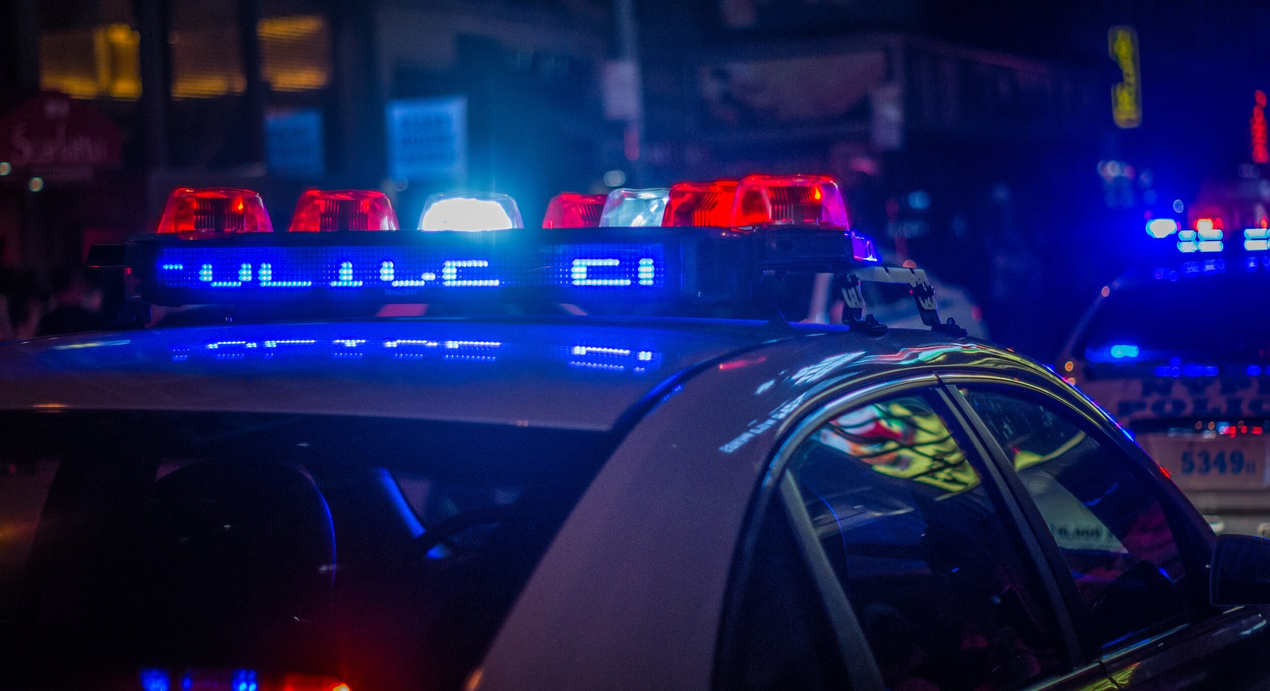
Police Forces.
Maximising the safety of police officers and civilians. Facilitate faster and better decisions by attaining real-time intelligence.
Benefits for Police Departments
Metropolitan Police: Feed real-time intelligence to Counter-terrorism units.
Use real-time data for traffic management, Patrol difficult to reach areas, make public announcements for crowd control. Use aerial data for crime scene scouting.
Rural Police: Patrol highways & areas difficult to access. Use aerial data for scouting crime scenes.
SRPF & CRPF: Use real-time aerial intelligence for counter-insurgency operations and Riot control. Aerial data for the management of ground forces during disaster management. Surveillance of vital installations.
Benefits of Drones for Police forces

Aerial Patrolling
Conduct patrolling and surveillance of difficult-to-reach areas within metropolitan police jurisdiction, such as mangroves, forests, and hilly terrains.

Crime scene investigation
Capture high-resolution aerial photos of a crime scene while avoiding disturbing evidence.
Efficiently shoot videos of a crime scene, including inaccessible areas.

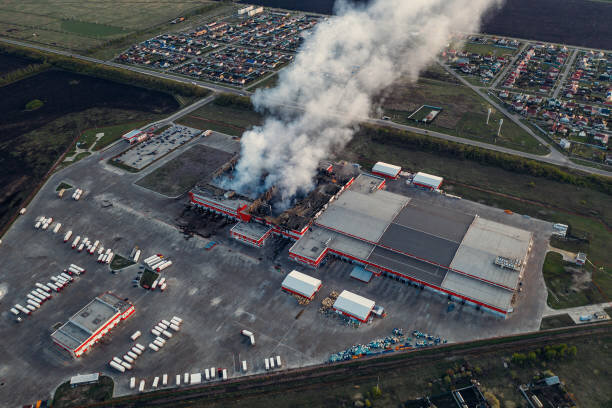
Disaster Management
Increase the efficiency of on-the-ground relief teams by providing better guidance using real-time aerial data.
Conduct reconnaissance flights to determine the likelihood of another disaster.
Benefit of Drones for Police forces
Intelligence Collection
Gather real-time aerial data for anti-terrorism and riot control. Use available data to advise on-the-ground forces in order to increase safety and the likelihood of a successful operation.
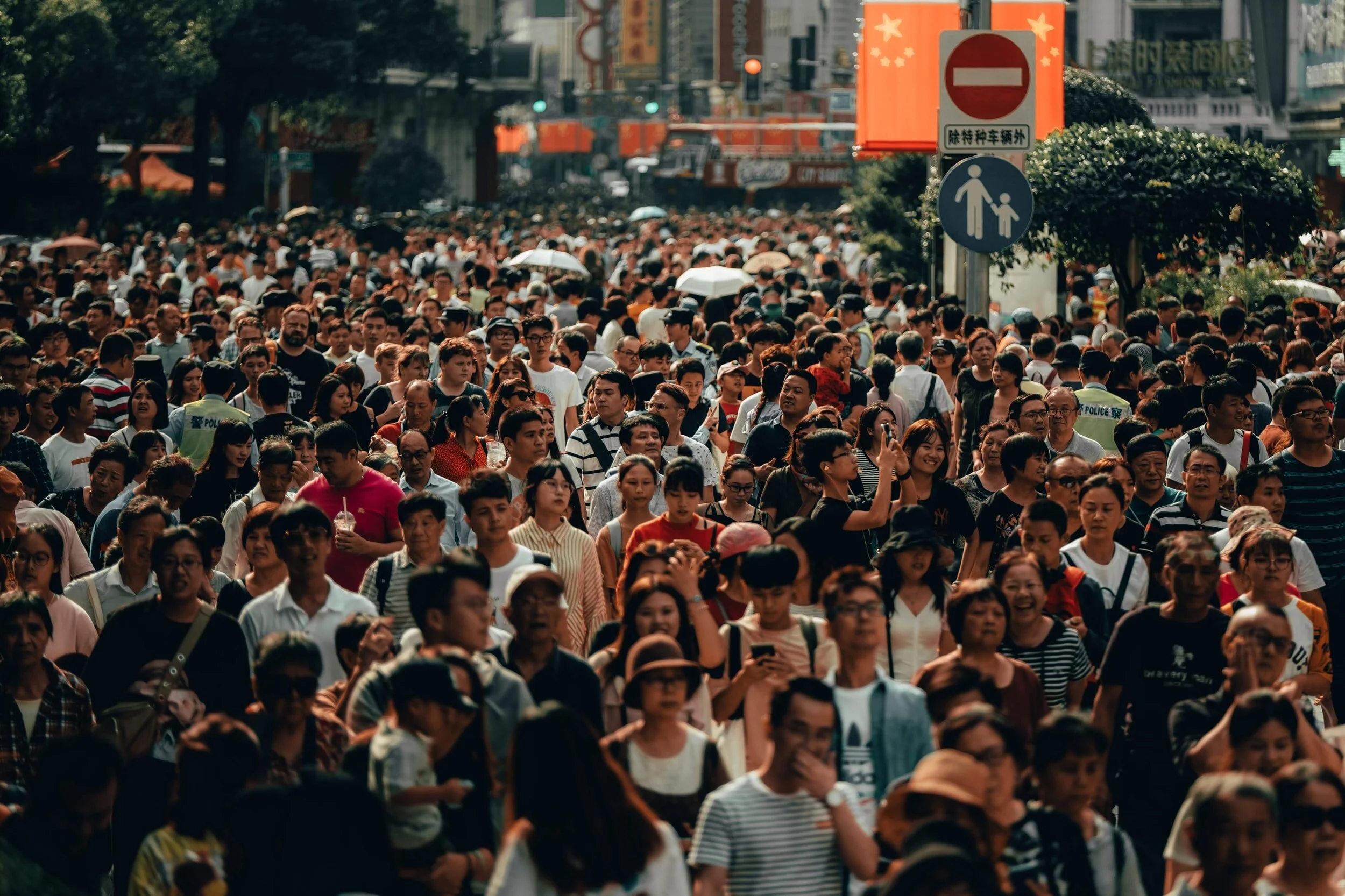
PA System
Drones equipped with loudspeakers and cameras can be used to control crowds during pandemics and festivals.
Direct on-ground personnel with available aerial data.

Traffic Monitoring & Control
Advise on-ground officers to direct traffic according to current traffic situations.
Predict bottlenecks by observing real-time traffic.
Use aerial data for Automatic Traffic counting and classification.